
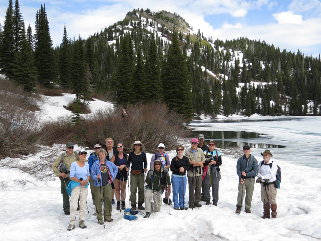
Stawberry Lake and Peak. (Keith Hammer photos)
Sixteen Swan Rangers hiked to a still-mostly-frozen-over Strawberry Lake on Saturday, June 7, 2014!
It's almost summer in the Swan Range - at least the parts that face directly South!
Click here for a map of the Strawberry Lake Trail.
(Read Full Article)
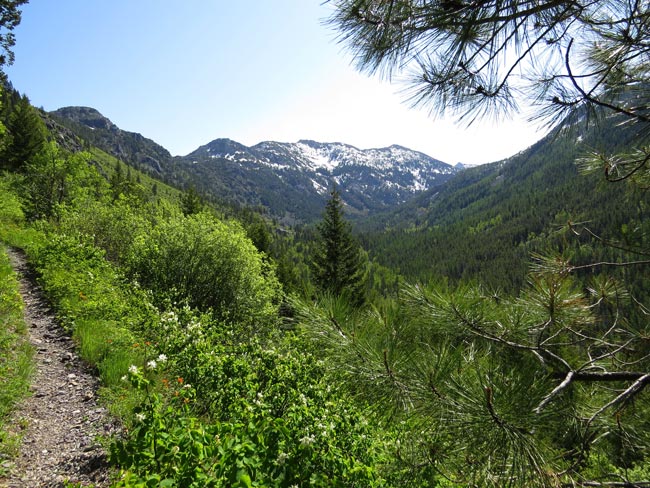
Looking up Wolf Creek Canyon along the Echo - Broken Leg Trail (Keith Hammer photos)
Twelve Swan Rangers hiked up Wolf Creek Canyon on a "hummer" of a day Saturday, May 31, 2014!
They saw two hummingbirds posing for photos and a wide variety of wildflowers!
Water is high and snow pack begins just beyond the Wolf Creek Crossing, but there is a downed spruce tree serving as a foot bridge just upstream of the trail.
Click here for a map of the Echo - Broken Leg Trail.
(Read Full Article)
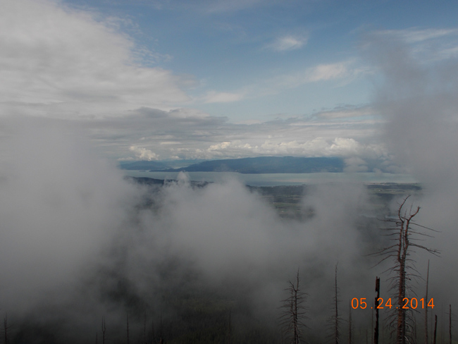
Flathead Lake seen through the clouds. (Roger Benson photos).
Eight Swan Rangers hiked the Switchback Trail on Saturday, May 24, managing to dodge the rain showers!
They hiked up to the remaining snowpack, seeing three blue grouse and lots of trillium and glacier lilies along the way.
Many thanks go out to Jim V., who cleared the trail of many a large blow-down tree the week prior!
Click here for a map of the Switchback Trail. It actually shows almost all of the 79 switchbacks!
(Read Full Article)
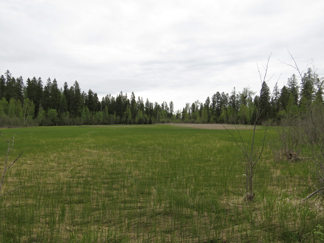
Wetlands under gray sky. (Keith Hammer photos)
Thirteen Swan Rangers hiked a loop among the wetlands below the Echo - Broken Leg Trail on Saturday, May 17, 2014!
They saw ducks, geese, deer, and other critters - and didn't get rained on!
Click here for a map of the Echo - Broken Leg Trail.
(Read Full Article)
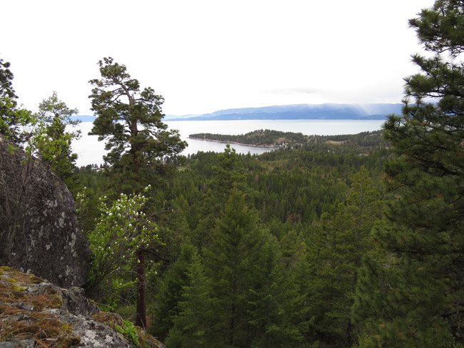
The magical land beyond Estes Lake! (Keith Hammer photos)
Once upon a time (Saturday, May 10, 2014 to be exact) ten Swan Rangers hiked to Estes Lake and beyond!
(Read Full Article)
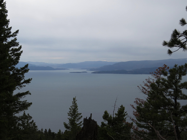
Flathead Lake from the Phillips Trail. (Keith Hammer photos)
Ten Swan Rangers hiked Crane Mountain's Phillips Trail on Saturday, May 3, finding it snow-free!
The trail offers great views of Flathead Lake and is about 3.5 miles one-way from Highway 35 to the Crane Mountain Road at the top (and the same darned distance back down)!
Click here for a map of the Phillips Trail.
(Read Full Article)
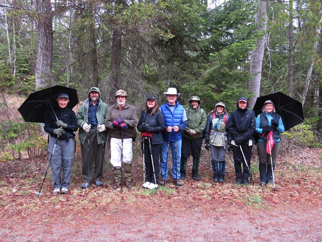
Umbrella parathesis. (Keith Hammer photos)
Ten Swan Rangers hiked the Swan River Trail upstream from Bigfork on a rainy Saturday, April 26, 2014!
This is always an enjoyable spring hike when the frontcountry wildflowers are blooming and the backcountry is still snowed in!
(Read Full Article)
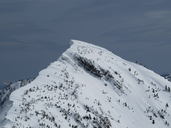
Wind and snow shape the Swan Crest in winter, here south of Infinity Ridge! (Keith Hammer photos)
Sixteen Swan Rangers hiked and snowshoed the Infinity Ridge area on Saturday, April 19, with half making it to the top!
It was a mostly sunny day and the Rangers saw tracks of a big black bear and the Easter Bunny!
Infinity Ridge lies east of the Strawberry Lake Road and the unnamed 6,888' peak at its top overlooks Wildcat Lake in the Jewel Basin.
(Read Full Article)

Nice weather, as always, on a Swan Ranger Saturday! (Keith Hammer photos)
Twelve Swan Rangers enjoyed a prolonged spring squall while hiking the Echo - Broken Leg Trail on Saturday, April 12, 2014!
The trail is mostly snow-free until Deer Creek, then a bit of post-holing is in order as remaining snow pack becomes intermittant.
Click here for a map of the Echo - Broken Leg Trail!
(Read Full Article)
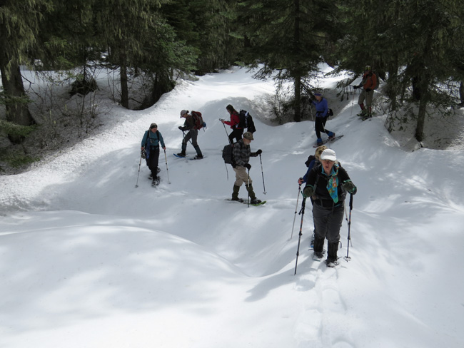
An S-curve snow bridge over North Krause Creek! (Keith Hammer photos)
Twelve Swan Rangers got both graupel and sunshine while snowshoeing in upper Krause Basin on Saturday, April 5, 2014!
They turned around where avalanche exposure commenced and saw tracks of wolverine and pine marten along the way!
(Read Full Article)
Page: ←1234567891011121314151617181920212223242526272829303132333435363738394041424344454647484950515253545556575859606162636465666768697071727374→