

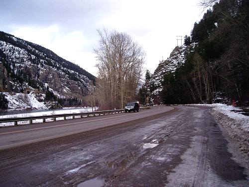
The Flathead River, a railroad, and Highway 2 share the narrow gap known as
Bad Rock Canyon near Columbia Falls.
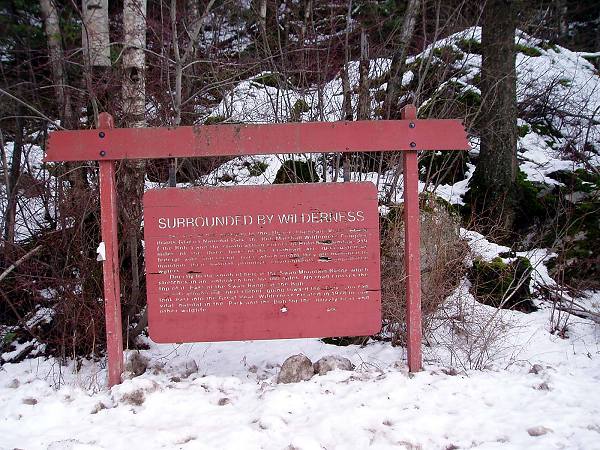
Montana Highway Commission interpretive sign at Bad Rock Canyon.
Congratulations! Highway 2 near Columbia Falls marks the northern end of the Swan Range. After 70 miles of trekking, how do you feel?
An interpretive sign along the highway at Bad Rock Canyon, not far from the Columbia Mountain trailhead, provides a fitting overview of the surrounding land:
"You are at the gateway to the Upper Flathead River, which drains Glacier National Park, the Bob Marshall Wilderness Complex (the Bob) and the southeastern corner of British Columbia. 219 miles of the three forks of the Flathead are designated as federal wild-and-scenic river, which means they are managed to maintain their natural primitive environments and unpolluted waters.
Directly to the south of here is the Swan Mountain Range, which stretches in an unbroken line for 100 miles. No road crosses the top of it. East of the Swan Range is the Bob.
Just around the corner going toward the Bob, you can look east into the Great Bear Wilderness created in 1978 to link vital habitat in the Park and the Bob for the grizzly bear and other wildlife."
The northern Swan Crest is a unique place not yet protected as an official wilderness area. We hope you are able to follow up your Swan Crest Virtual Trek with first-hand experiences in this wonderful area and will want to keep it a great place for people and wildlife.

Back to Virtual Trek Main Map.