

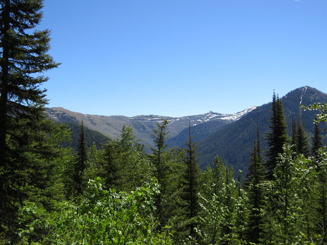
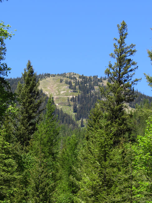
 A view of the Swan Crest in the headwaters of North Lost Creek! (Keith Hammer photos)
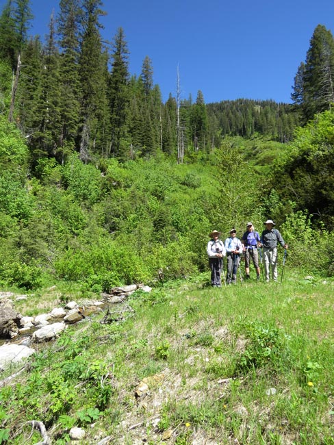
Five Swan Rangers hiked a closed road in North Lost Creek while four hiked the Phillips Trail on a sunny, hot Saturday, June 4!
The hike on the closed road was for fun but also to check out culverts removed from avalanche chutes to protect bull trout and to confirm one big culvert was wrongly left behind!
Click here for a copy of Swan View Coalition's "Road to Ruin" report if you'd like to learn more about how culverts trash water quality and fish habitat.
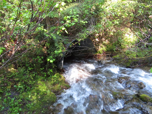
The Rangers check out where a culvert was properly removed so it would no longer plug with avalanche debris and wash out the road!
Though the Forest Service claims it removed this 6'-wide culvert also, Google Earth and this closer-up image show it remains a risk to bull trout!
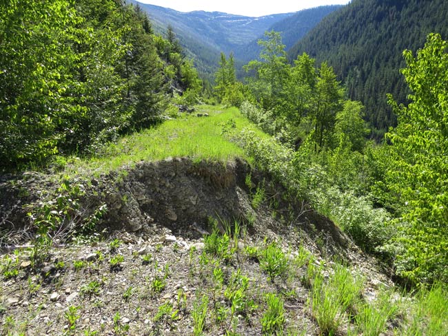
A tiny trickle of a stream sent this chunk of the road downstream toward bull trout habitat. Imagine how much dirt will go downstream when the 6' culvert above fails!
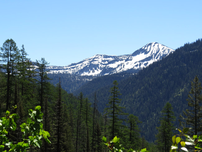
The closed road and the Wire Trail cross big avalanche chutes and streams on the south slopes of Springslide Mountain. Can you see the Wire Trail up there?
Thunderbolt Mountain sits atop the Swan Crest and its western flank divides North from South Lost Creek!
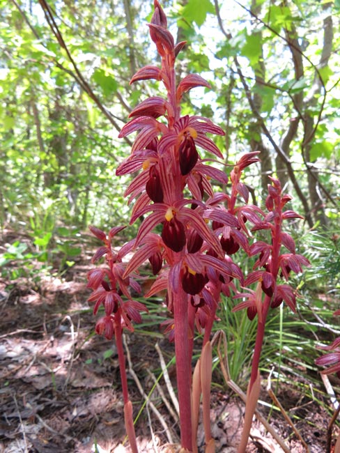
Striped coralroot!
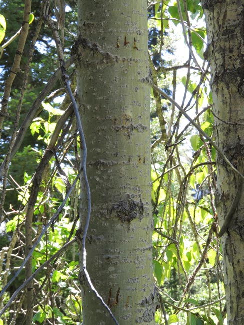
Can you see where something with claws climbed this young cottonwood tree?
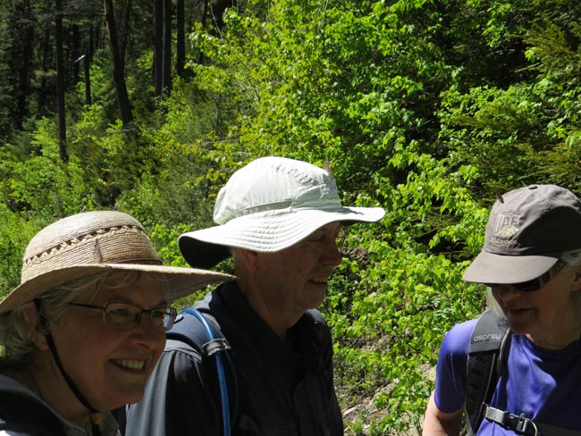
Three Rangers, three hats, three butterflies!
The Swan Rangers meet every Saturday at the Echo Lake Cafe for breakfast at 7:30, leaving at 8:30 for a partial day outing in the northern Swan Mountains and foothills.
They carpool from the Swan River School parking lot next to the Cafe.
When hiking in bear country, remember to carry bear spray and avoid the 3-D's: dawn, dusk, and darkness.
Everyone is welcome!